Real Estate

Property Analysis & Mapping Solutions

Advanced AI annotation for real estate imagery: property segmentation, damage detection, floor plan analysis, and satellite mapping. Transform property data into actionable insights.
TRUSTED BY LEADING REAL ESTATE TECH COMPANIES
Zillow
Redfin
Compass
Opendoor
CoreLogic
HouseCanary

Annotation Services

Complete real estate annotation solutions

Specialized labeling services for property imagery, floor plans, and geospatial data

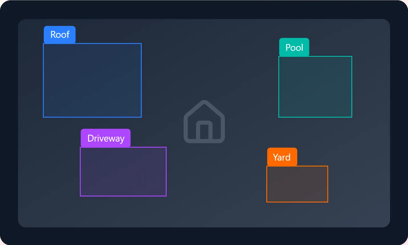
Property Segmentation

Precise of property features including roofs, facades, windows, driveways, pools, and landscaping elements.

Roof & Damage Detection

Identify and classify roof damage, structural issues, and property defects using and polygon annotation for insurance and inspection.

Floor Plan Analysis

Annotate architectural drawings and floor plans with room detection, wall segmentation, and fixture identification for automated layout understanding.

Virtual Staging

Label furniture, decor, and interior elements to enable AI-powered virtual staging and home design visualization systems.

Satellite Imagery

Annotate aerial and satellite images for property analysis, land use classification, and geographic information systems.

Land Parcel Mapping

Precise of property boundaries, lot lines, and cadastral data for GIS applications and property records.

Our Process

How real estate annotation works

A streamlined workflow built specifically for property imagery and geospatial data

STEP 1

Upload Property Data

Securely upload property photos, aerial imagery, floor plans, or satellite data through our platform

STEP 2

Define Requirements

Specify property features, damage types, or analysis parameters for your use case

STEP 3

Expert Annotation

Real estate-specialized annotators label your data with property-specific expertise

STEP 4

Quality & Delivery

Comprehensive quality checks before delivering annotated data in your preferred format

Trusted by real estate leaders

Industry-leading precision for property analysis and mapping

50M+

Properties annotated

99.5%

Annotation accuracy

24hrs

Average turnaround

200+

Real estate clients

Use Cases

Real estate annotation use cases

Supporting every aspect of property technology and real estate operations

Property Valuation

Automated appraisal models

Damage Assessment

Insurance claim automation

Construction Monitoring

Progress tracking & QA

Land Development

Site planning & analysis

Virtual Tours

3D reconstruction & staging

Market Analysis

Trend prediction & insights

Property Inspection

Automated defect detection

Portfolio Management

Asset monitoring & ROI

Ready to transform your property data?

Get started with professional real estate annotation services. Fast delivery, enterprise security, and guaranteed accuracy.

Real Estate Annotation FAQs

Common questions about our property annotation services

We annotate all types of real estate imagery including ground-level property photos, aerial drone footage, satellite imagery, 360-degree virtual tours, thermal imaging, floor plans, and architectural drawings. Our platform supports various formats including JPEG, PNG, TIFF, and GeoTIFF for geospatial data.

Our roof and damage detection services achieve 99.5% accuracy for identifying common issues like missing shingles, hail damage, water damage, and structural defects. All annotations are performed by trained specialists with real estate and construction expertise, then verified by quality assurance teams.

Yes, we regularly process millions of properties for institutional clients including REITs, property management companies, and insurance providers. Our scalable infrastructure and dedicated annotation teams can handle portfolios of any size while maintaining consistent quality and meeting tight deadlines.

We can segment and measure all major property features including roofs, facades, windows, doors, driveways, patios, pools, decks, landscaping, fencing, and outbuildings. For each feature, we provide precise polygon outlines, area calculations, and attribute classifications to support property valuation and analysis.

Yes, we export annotated data in standard GIS formats including GeoJSON, Shapefile, KML, and GeoTIFF with proper coordinate reference systems. All spatial data includes accurate georeferencing and can be directly imported into ArcGIS, QGIS, Google Earth, and other GIS platforms.

We maintain enterprise-grade security with SOC 2 Type II certification, end-to-end encryption, and strict access controls. All annotators sign NDAs, and we can work within your secure cloud environment. We also offer automated redaction of sensitive elements like faces, license plates, and addresses when needed.