
Professional lane line detection and road boundary annotation for self-driving vehicles. Train robust autonomous navigation models with pixel-accurate lane markings, road boundaries, and drivable area segmentation.


Annotation Capabilities
Professional road marking annotation for autonomous vehicle perception and path planning systems

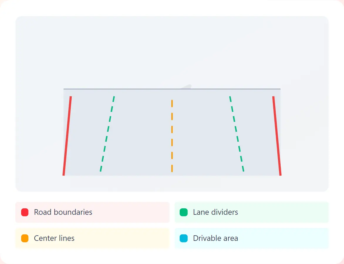
Precise polyline annotation of all lane markings including solid, dashed, double, and specialty lines with lane type classification.
Annotation of road edges, curbs, barriers, and shoulder boundaries for safe navigation zone identification.
Pixel-level segmentation of drivable surfaces including lanes, shoulders, and alternate paths for path planning algorithms.
Complex intersection annotation including stop lines, crosswalks, turn lanes, and junction topology for navigation decision-making.
3D lane topology annotation for multi-camera fusion and LiDAR integration with elevation and spatial relationships.
Our Process
A streamlined workflow for pixel-perfect lane marking and road boundary annotation

STEP 1
Securely upload dashcam footage, multi-camera data, or driving datasets

STEP 2
Specify lane types, marking categories, and annotation requirements

STEP 3
Expert annotators trace lane lines and boundaries with pixel accuracy

STEP 4
Multi-stage QA before delivery in TuSimple, CULane, or custom formats
Industry-leading accuracy for autonomous vehicle perception systems
Lane meters annotated
Detection accuracy
Average precision
AV companies served
Use Cases
Powering autonomous navigation and driver assistance systems worldwide

Self-driving car perception & navigation

Lane keeping & departure warning

Truck platooning & route optimization

High-definition road map creation

Public transit automation

Fleet monitoring & safety systems

Traffic management systems

Enhanced GPS routing & guidance
Get pixel-perfect lane annotations for road navigation, path planning, and ADAS systems. Trusted by leading autonomous vehicle companies.
Common questions about our lane marking and road boundary annotation services
