Polygon Annotation Services

Precise polygon annotation for irregular shapes

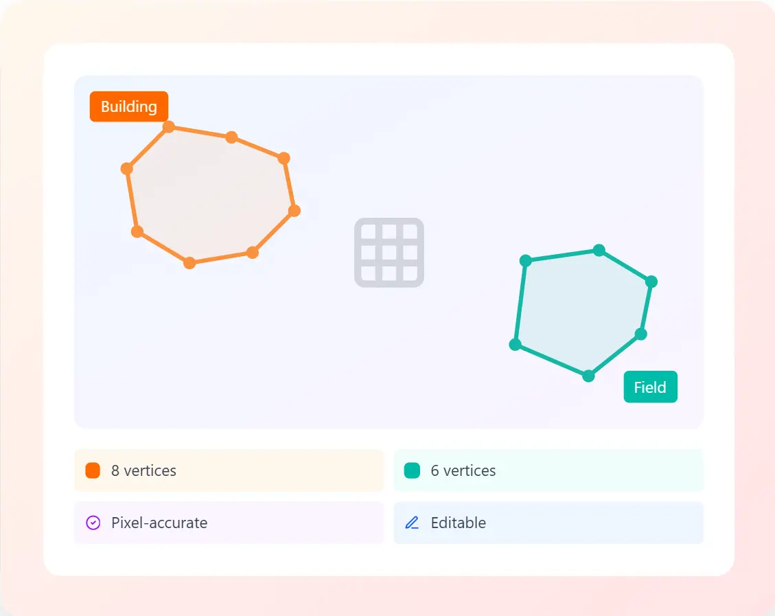
Professional polygon annotation services with pixel-perfect accuracy. Trace complex object boundaries with multi-point polygon tools for objects that don’t fit standard bounding boxes.
TRUSTED BY LEADING AI COMPANIES
Google Maps
Waymo
Maxar
Planet Labs
HERE Tech
Esri

Polygon Capabilities

Advanced polygon annotation features

Industry-leading polygon annotation tools for complex shape detection and segmentation tasks

Multi-Point Polygons

Create polygons with unlimited vertices to trace even the most irregular boundaries with precision. Perfect for complex shapes.

Curved Boundaries

Support for Bezier curves and splines to accurately represent smooth, organic shapes found in nature and medical imagery.

Complex Shapes

Handle overlapping polygons, concave shapes, and self-intersecting boundaries for sophisticated annotation requirements.

Hole Support

Create polygons with internal holes for objects with complex geometries like buildings with courtyards or donuts.

Vertex Editing

Intuitive vertex editing tools to add, remove, or adjust polygon points with precision controls for perfect refinement.

Precision Tools

Advanced measurement and alignment tools including grid snapping, angle constraints, and distance measurements.

Our Process

How polygon annotation works

A proven workflow that delivers pixel-perfect polygon annotations for your computer vision datasets

STEP 1

Upload Images

Securely upload your satellite, aerial, or medical images through our platform

STEP 2

Define Requirements

Specify polygon types, labels, vertex limits, and quality standards

STEP 3

Precision Tracing

Expert annotators trace boundaries with pixel-level accuracy

STEP 4

Quality Assurance

Rigorous validation and topology checks before delivery

Polygon annotation at scale

Trusted by geospatial and medical AI teams worldwide

25M+

Polygons annotated

99.8%

Boundary accuracy

48hrs

Typical turnaround

200+

Projects completed

Use Cases

Polygon annotation across industries

Powering AI applications that require precise boundary detection and shape analysis

Medical Imaging

Organ and tumor segmentation

Satellite Imagery

Land parcel delineation

Agricultural Monitoring

Field boundary mapping

Urban Planning

Building footprint extraction

Geographic Mapping

Coastline and river tracing

Environmental Monitoring

Forest and water body detection

Industrial Inspection

Defect boundary detection

Pathology Analysis

Cell and tissue segmentation

Ready for precision polygon annotation?

Get started with professional polygon annotation services. Fast delivery, enterprise security, and pixel-perfect accuracy.

Polygon Annotation FAQs

Common questions about our polygon annotation services

Polygon annotation is ideal for satellite imagery, aerial photography, medical scans (CT, MRI, X-ray), pathology slides, and any images requiring precise boundary detection of irregular shapes. We support all major formats including GeoTIFF, DICOM, PNG, JPG, and TIFF.

We guarantee 99.8% boundary accuracy with pixel-level precision. Each polygon undergoes multi-layer QA including topology validation, vertex count verification, and edge alignment checks. Our annotators are trained specialists in geospatial and medical imaging.

Yes, we fully support complex polygon geometries including polygons with multiple internal holes, concave shapes, self-intersecting boundaries, and nested structures. Our tools validate topology to ensure GIS and ML framework compatibility.

We export polygon annotations in GeoJSON, Shapefile, COCO JSON, Pascal VOC XML, WKT (Well-Known Text), and custom JSON formats. For medical imaging, we support DICOM-SEG and NIfTI masks. All exports include vertex coordinates and label metadata.

We use detailed annotation guidelines, automated QA checks for topology errors, regular calibration sessions with annotators, and statistical sampling of completed work. Every project has a dedicated QA specialist who reviews edge cases and maintains consistency.

Standard polygon annotation projects have a 48-72 hour turnaround. Complex medical or satellite imagery requiring specialist knowledge may take 3-7 days. We offer rush services for urgent projects and can scale teams for large datasets requiring faster delivery.