
Advanced AI annotation for real estate imagery: property segmentation, damage detection, floor plan analysis, and satellite mapping. Transform property data into actionable insights.


Annotation Services
Specialized labeling services for property imagery, floor plans, and geospatial data

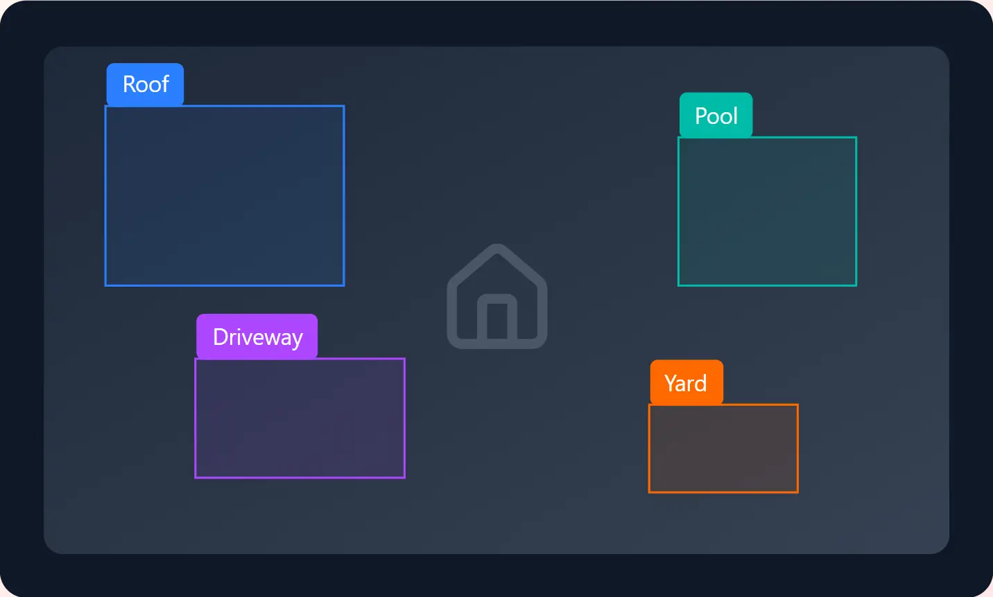
Precise of property features including roofs, facades, windows, driveways, pools, and landscaping elements.

Identify and classify roof damage, structural issues, and property defects using and polygon annotation for insurance and inspection.

Annotate architectural drawings and floor plans with room detection, wall segmentation, and fixture identification for automated layout understanding.

Label furniture, decor, and interior elements to enable AI-powered virtual staging and home design visualization systems.

Annotate aerial and satellite images for property analysis, land use classification, and geographic information systems.

Precise of property boundaries, lot lines, and cadastral data for GIS applications and property records.
Our Process
A streamlined workflow built specifically for property imagery and geospatial data

STEP 1
Securely upload property photos, aerial imagery, floor plans, or satellite data through our platform

STEP 2
Specify property features, damage types, or analysis parameters for your use case

STEP 3
Real estate-specialized annotators label your data with property-specific expertise

STEP 4
Comprehensive quality checks before delivering annotated data in your preferred format
Industry-leading precision for property analysis and mapping
Properties annotated
Annotation accuracy
Average turnaround
Real estate clients
Use Cases
Supporting every aspect of property technology and real estate operations

Automated appraisal models
Insurance claim automation

Progress tracking & QA

Site planning & analysis

3D reconstruction & staging

Trend prediction & insights

Automated defect detection
Get started with professional real estate annotation services. Fast delivery, enterprise security, and guaranteed accuracy.
Common questions about our property annotation services
